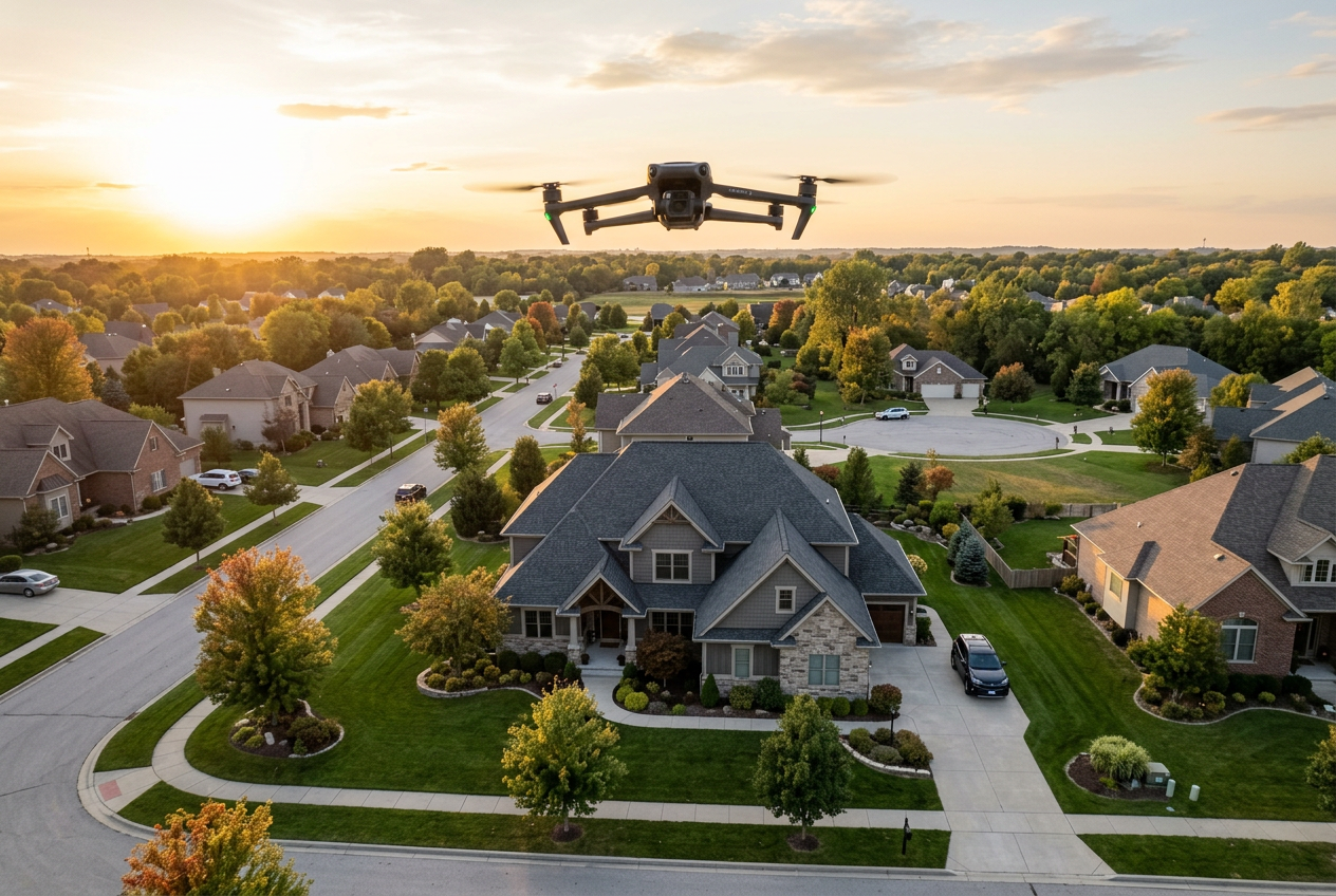
Scrolling behavior creates a simple problem: listings compete on thumbnails long before buyers read details. real estate drone photography solves that problem by showing context that a ground camera cannot capture.
Aerial stills and short clips also change how an agent markets a property. The same flight can feed MLS photos, a social teaser, and a listing presentation slide.
The strongest results come from a full system, not a one-off add-on. That system includes regulations, airspace checks, privacy planning, and a workflow that pairs exterior context with strong interior visuals.
Real Estate Drone Photography as a Listing Essential
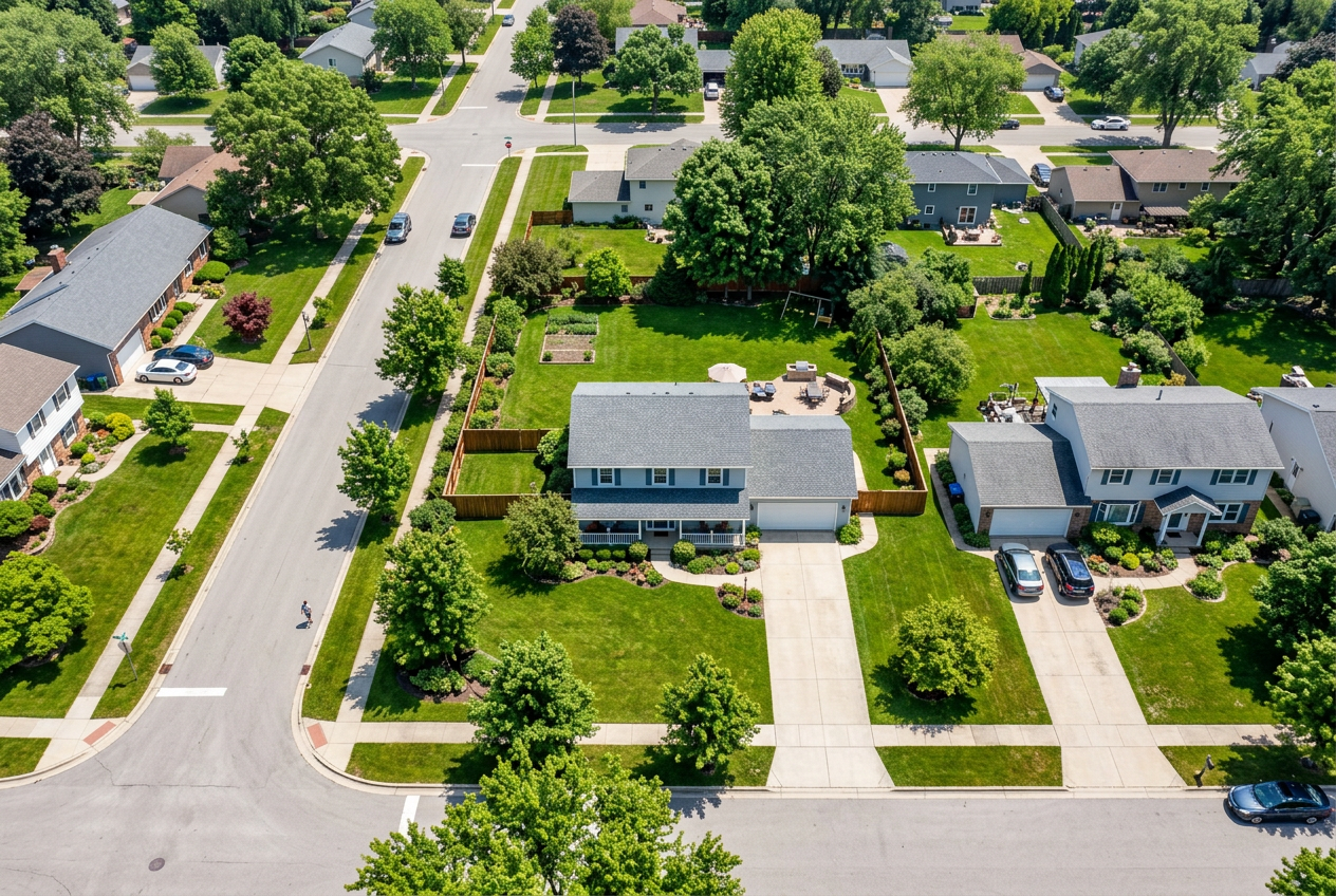
Buyers form opinions about a location in seconds. Aerial coverage answers questions that interior photos cannot touch. Lot shape, backyard depth, proximity to busy roads, and neighborhood spacing all show up at a glance.
ROI shows up in two places: attention and confidence. Drone stills lift click-through because the lead image looks different. They also reduce buyer doubt because the footage explains scale, slope, and surroundings.
One widely cited benchmark claims listings with drone media can sell up to 68% faster. That number will not match every market or price band. Still, it fits the day-to-day reality of online search: stronger media earns more saves, shares, and showings.
Drone work also supports a broader real estate marketing strategy. Aerial content gives agents reusable assets for email, social, open house screens, and listing presentations. That reuse matters, since the cost stays fixed while distribution expands.
Properties That Benefit Most From Aerial Coverage
Some homes look similar from the street. Others need context to feel valuable. Agents get the best return when aerials answer a buyer question that the MLS remarks cannot solve.
Exterior features drive that decision. A pool, a long driveway, mature trees, and a usable yard all photograph better from above. New construction also benefits because buyers want to see grading, spacing, and nearby phases.
| Property type | ROI level | What aerials clarify | Best aerial deliverable |
|---|---|---|---|
| Waterfront and view lots | High | shoreline access, view corridors, setbacks | stills plus short video |
| Acreage and rural parcels | High | boundaries, outbuildings, approach roads | stills with a map-style angle |
| Suburban homes with standout yards | Medium | pool layout, landscaping, privacy | hero stills for MLS |
| New construction and spec homes | Medium | lot placement, neighboring builds | stills plus a gentle reveal clip |
| Dense urban condos | Low | roofline context, nearby landmarks | limited stills only |
| Homes near sensitive sites | Low | privacy risks, restricted airspace | avoid flights unless cleared |
Aerial coverage often fails when it tries to replace ground photography. A standard small-lot home without yard value can still benefit, but only if the neighborhood context sells the story. Otherwise, budget tends to work better in stronger interior visuals and clean post-production.
FAA Part 107 Real Estate Rules Agents Cannot Ignore
Regulation mistakes create the worst kind of risk. A complaint, a local enforcement call, or an airport report can stall marketing at the exact moment momentum matters.
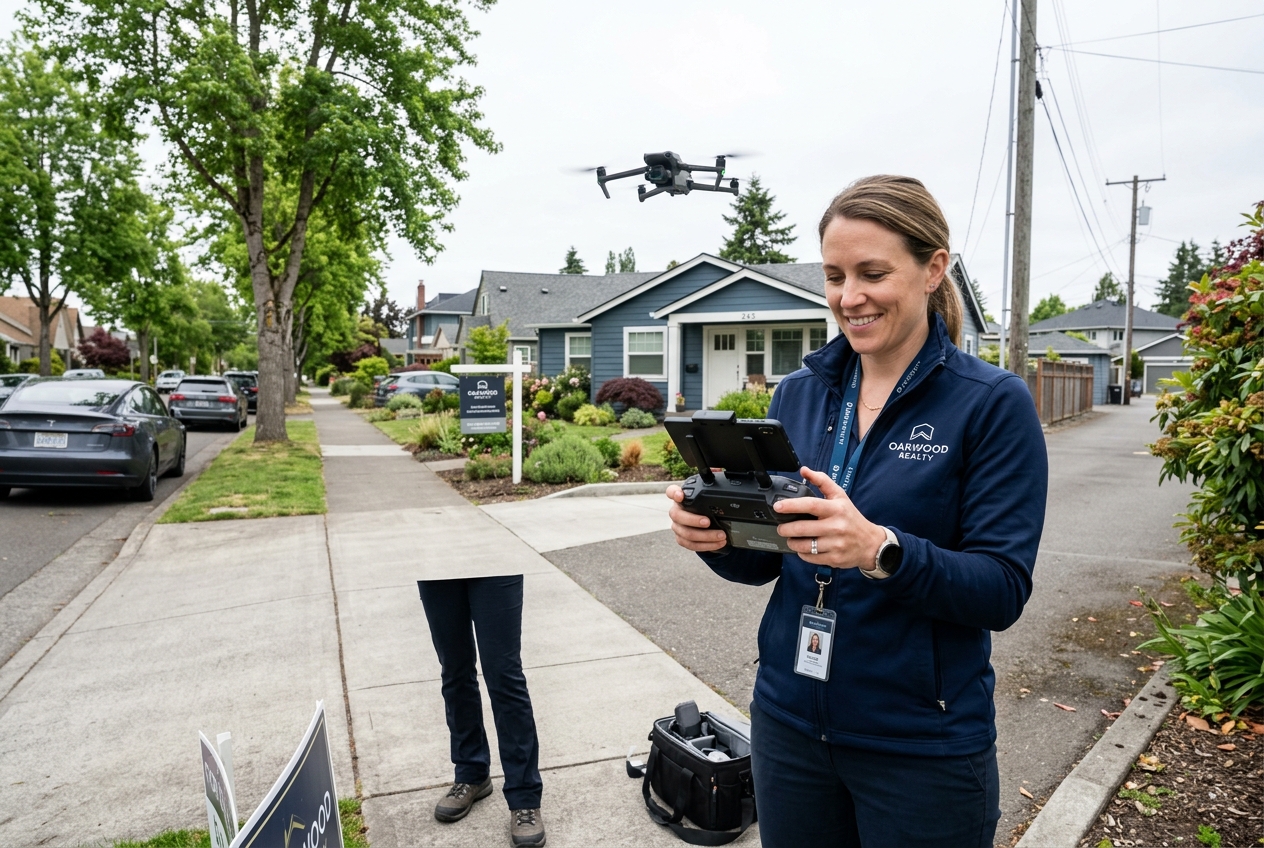
FAA rules treat real estate flights as commercial work in most cases. That means the pilot needs FAA Part 107 coverage, not a hobby exemption. Agents do not need to hold the credential to hire a pilot, but agents do need to verify it.
Basic operational limits matter for planning. Controlled airspace, people on site, and line-of-sight rules can block a flight even when the sky looks clear. Weather also changes risk fast, especially with gusts and turbulence around tall trees.
A simple compliance habit helps. Agents can ask for documentation at booking, confirm airspace status before the appointment, and keep a short record in the listing file. That record supports risk management if a neighbor raises an issue later.
How to verify a pilot holds Part 107
A serious pilot can show proof in minutes. The pilot can provide a copy of the remote pilot certificate, plus a government-issued ID that matches the name on the certificate.
Agents can also ask for basic process answers. A credible pilot explains how preflight checks work, how airspace gets cleared, and what happens when wind or visibility changes. Vague responses signal a problem. A strong next step is to find a qualified real estate photographer who lists drone services and compliance details.
LAANC airspace authorization real estate checks before booking
Airspace determines whether a flight can happen, not the calendar. A pre-booking check prevents last-minute cancellations and keeps the listing timeline intact.
A practical workflow uses three tools: LAANC for authorization in controlled areas, B4UFLY for quick status checks, and AirMap for detailed maps and constraints. A simple checklist works:
- Action: check the address in B4UFLY for immediate flags.
- Action: review the same location in AirMap for controlled airspace bands and nearby constraints.
- Action: confirm the pilot can request LAANC authorization for the planned time window, or reschedule to a flyable window.
Agents can treat this as a go or no-go gate. If the tools show constraints, agents can pivot to ground exteriors, elevated pole shots, or a wider neighborhood montage that stays within allowed areas.
Privacy, HOA Rules, and Neighbor Risk
A perfect flight plan can still fail on the ground. Many complaints come from privacy fear, not actual rule violations. HOA rules and neighbor expectations also vary block by block.
State and local privacy rules often focus on intent and intrusion. Flights that hover near windows, linger over backyards, or record people at leisure create the most risk. Agents can reduce that risk by planning higher, wider angles that frame the property, not the neighbor.
HOAs sometimes restrict drone activity over common areas. That can include greenbelts, private roads, pools, and clubhouses. Agents can check HOA documents during listing prep and ask the seller to flag any prior enforcement patterns.
A preflight neighbor plan prevents surprises. Agents can notify immediate neighbors, schedule when fewer people occupy yards, and stage the exterior so the pilot finishes faster. Edge cases need a different plan, including celebrity sellers, active custody disputes, and properties with high-security features.
Drone Photography Pricing and Turnaround Planning
Budget problems happen when drone work sits outside the media plan. Agents can avoid that by treating aerial coverage as one line item inside a full listing media package.
Markets price drone work differently, but drivers stay consistent. Complexity rises with larger parcels, long flight times, travel distance, and heavy editing. Controlled airspace can also raise effort, since authorization and contingency planning add work.
Turnaround should be locked at booking. A practical baseline is two business days for edited aerial stills and three business days for edited aerial video. That window gives time for color correction, stabilization, and a second pass that removes distracting artifacts.
Deliverables need a clear boundary. The deliverable should include final stills, final clips, licensing terms, and a short note on any flight constraints. Agents should save pricing strategy, seller security concerns, and negotiation plans for the in-person conversation.
Commission or fee splits also do not belong in the media deliverable. Those figures live in agreements and broker records. The media package should stay focused on marketing assets and compliance notes. For broader budgeting context, the real estate photography cost breakdown helps align drone spend with the rest of the shoot.
Hire or DIY for Drone Photography
DIY sounds efficient until the calendar fills. Flight planning, weather reschedules, airspace checks, shooting, and editing can eat half a day for a single listing.
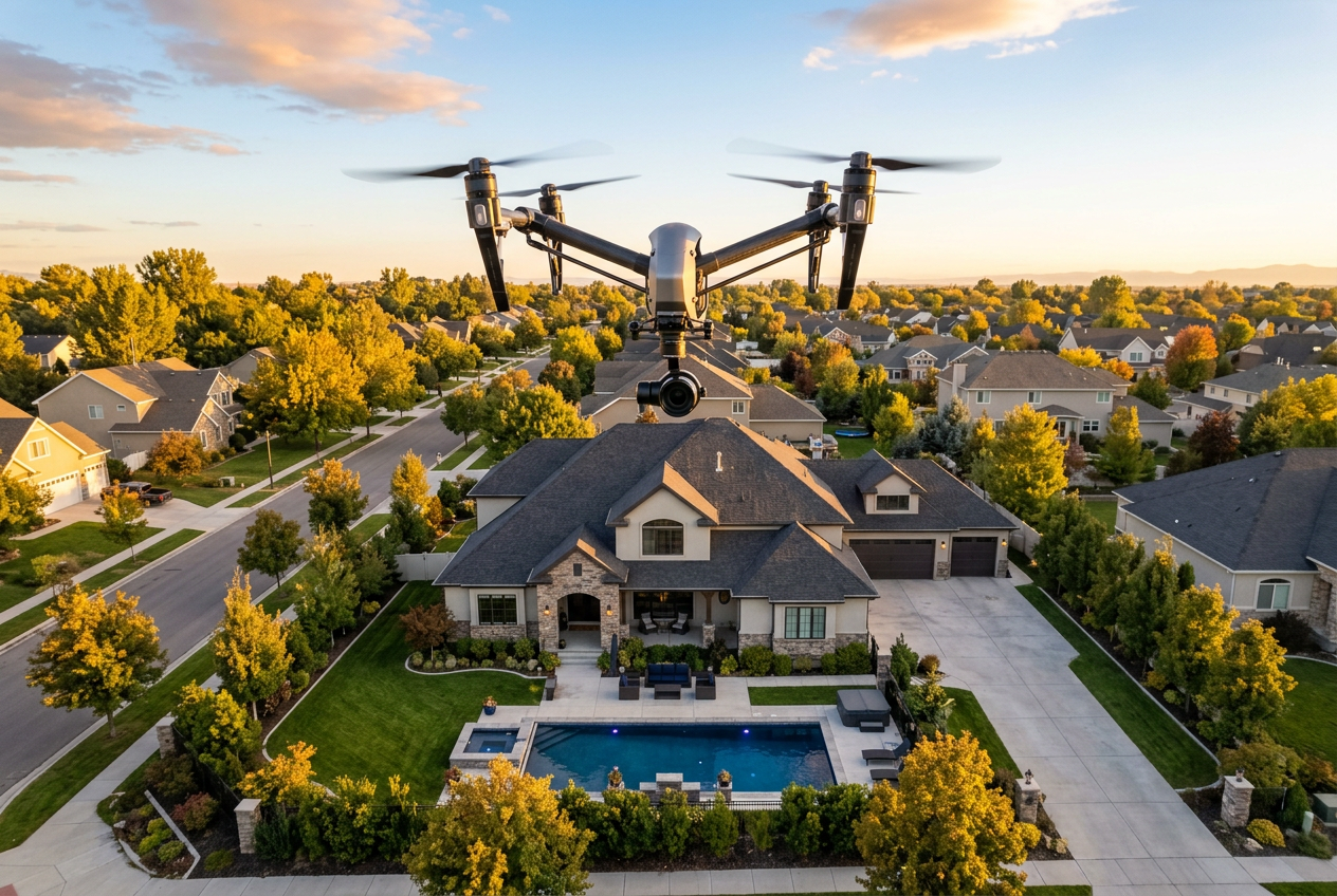
Hiring also shifts liability. A certified pilot carries the operational responsibility, brings redundant batteries, and understands how to keep footage stable in shifting wind. A strong pilot also knows when to call off a flight.
DIY can still fit certain business models. Teams that list high volume in the same small area can spread equipment cost across many shoots. That model works best when a dedicated staff member owns the workflow and handles post-production.
Equipment choice matters, but specs matter less than consistency. A real estate drone needs a stable gimbal, strong obstacle sensing, and clean low-noise footage in mixed light. For a deeper equipment decision, the best drones for real estate photography guide covers trade-offs by budget and use case.
Timing and Property Prep That Prevents Bad Aerials
Midday sun makes even expensive homes look flat. Harsh shadows hide landscaping, darken roofs, and turn pools into glare. Good drone work starts with a lighting plan.
Golden hour and twilight often deliver the strongest perceived value. Warm light adds depth, and exterior lights read better in motion. Morning flights can also reduce neighbor activity and street traffic.
| Timing window | Look | Best use case | Common risk |
|---|---|---|---|
| Early morning | clean and quiet | busy streets, tight neighborhoods | haze and fog |
| Late afternoon | warm and dimensional | most single-family listings | wind picks up |
| Twilight | premium and cinematic | homes with exterior lighting | narrow timing window |
| Midday | bright but harsh | overcast days, simple exteriors | glare and deep shadows |
Prep matters as much as it does indoors. Agents can clear cars, bins, and yard clutter. Pool covers should come off, outdoor cushions should align, and hoses should disappear. Roof debris and dead patches also show from above.
A last check prevents rework. Agents can walk the perimeter, look up at second-story sightlines, and remove sign riders that block the facade. Skipping prep often leads to reshoots and the same failures seen in common real estate photography mistakes.
Using Aerial Media Across MLS, Social, and AI Workflows
MLS stills remain the baseline, but aerial content pays off when it gets reused. One shoot can support a hero image, a short teaser, and a neighborhood context clip for a listing presentation.
A simple distribution plan helps the media feel intentional. Agents can pick one primary aerial still for the top MLS slot, then place supporting angles later in the photo order. Video clips can lead social posts because motion stops scroll behavior.
Post-production choices also shape perception. Color consistency between aerial stills and ground stills matters, especially when clouds shift during the shoot. Agents can keep the full set cohesive through professional real estate photo editing that matches tone and contrast across the gallery.
Aerial media also pairs well with interior upgrades that buyers expect to see online. That pairing works best when the agent plans the interior shot list for staging, not after the fact.
Social-first editing and posting checklist
Platforms reward different cuts of the same footage. Short clips with quick subject changes often perform better than long flyovers. Caption text should name the key exterior feature in the first line.
Agents can keep posting efficient by asking for two exports from the editor: one for MLS and one for vertical social. Light stabilization, clean horizon leveling, and fast trims matter more than heavy effects. For editing workflows and publishing tools, the real estate video apps guide helps agents pick a setup that matches volume.
Pairing aerial exteriors with AI Virtual Staging
Aerial footage sells the setting. Interior images sell the lifestyle. Pairing the two removes friction for buyers who struggle to picture layout and scale.
AI HomeDesign supports that interior side with AI Virtual Staging, AI Item Removal, AI Day to Dusk, and Image Enhancement. The strongest workflow starts at capture, since clean angles and consistent light produce better edits. The how to shoot a property for virtual staging checklist keeps interior frames staging-ready.
Agents also need clear compliance language. MLS Rules vary, but disclosure remains a safe baseline. A simple standard works: “Disclosure: this image has been virtually staged.” Many MLS systems also expect a Virtually Staged Watermark. Transformation examples help set seller expectations, and the before and after photo editing gallery shows what edits change and what they should not change.
Frequently Asked Questions
Does a listing agent need FAA Part 107 certification for drone photos?
A listing agent does not need FAA Part 107 certification to market drone photos. The pilot who flies the drone for a commercial purpose needs the credential. Agents can reduce risk by keeping a copy of the pilot’s certificate on file and confirming the pilot handles airspace authorization when required.
What is the difference between aerial real estate photography and aerial video?
Aerial stills work best for MLS galleries because they load fast and scan well. Aerial video works best for social and listing presentations because motion shows approach paths, elevation changes, and neighborhood flow. Many listings benefit from a small set of stills plus a short highlight clip.
How far in advance should drone photography be scheduled?
Scheduling works best when it starts as soon as the listing timeline is set. Earlier scheduling leaves room for weather shifts, airspace checks, and HOA coordination. A firm booking also helps align interior photography, staging, and exterior prep so the full media set feels consistent at launch.
How should drone photography be labeled if any AI edits are used?
Agents should disclose AI-edited visuals in plain language and follow MLS Rules for labeling. A practical standard is: “Disclosure: this image has been virtually staged.” If the MLS expects it, a Virtually Staged Watermark should appear on the image. Disclosure should stay visible wherever the image is reposted.
Can drone footage create privacy issues for sellers and neighbors?
Yes. Drones can raise privacy concerns even when the pilot follows FAA rules. Flights that hover near windows or record people in backyards create the most conflict. Agents can reduce complaints by planning higher, wider angles, notifying nearby neighbors, and checking HOA restrictions before the shoot.
What deliverables should be requested from a drone photographer?
Agents should request a defined set of edited stills, edited clips, and clear usage rights. The delivery should also include the export sizes for MLS and social, plus a note on any constraints that affected the shoot. Pricing strategy, commission terms, and negotiation notes belong outside the media deliverable.